![]()
![]()
![]()
Echo Point is modified little by little and this time sign boards of 1m
x 1.5m were going to be built.
Precise documents were quoted as follows.
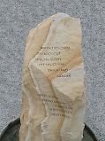
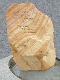
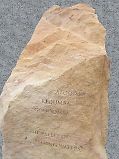
At the same time, artificial stones were going to be set.
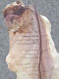
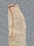
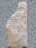
![]()
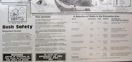
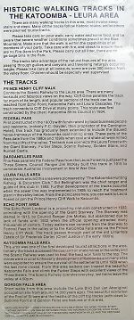
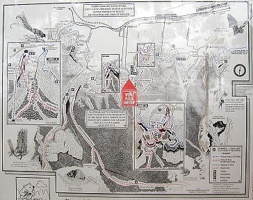
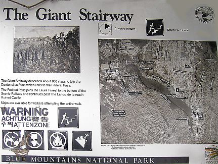
If you want to know more, following sign boards are effective.
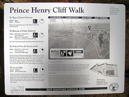
![]()
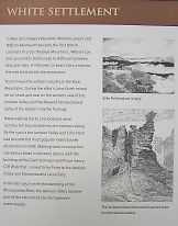
_White Settlement_
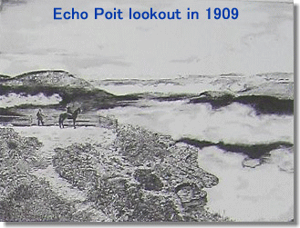 In May 1813 Gregory Blaxland, William Lawson and William Wentworth became
the first British colonists to cross the Blue Mountains. William Cox and
30 convicts built a road to Bathurst between 1814 and 1815. A little over
50 years later, a railway line was built across the mountains.
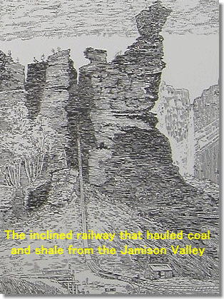 Tourism was the earliest industry in the Blue Mountains. During the 1880's,
John North mined for oil-shale and coal on the western side of the Jamison
Valley and Maxwell family cleared some of the eastern side for farming.
Many walking tracks and lookouts were constructed around and into the Jamison
Valley. By the 1920's the Jamison Valley and Echo Point had became the
most popular inland tourist destination in NSW. Walking track construction
reached a climax in the early 1930's with the building of the Giant Stairway
and Prince Henry Cliff Walk that connect Echo Point to the Jamison Valley
and Katoomba and Leura Falls.
In the late 1950's with the damming of the Warragamba River, the Jamison
Valley became part of the catchment area for Sydney's water supply.
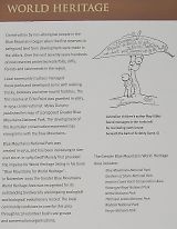
_World Heritage_
Conservation by non-Aboriginal people in the Blue Mountains began when
the first reserves to safeguard land from development were made in the
1860's. Over the next seventy years hundreds of new reserves protected
waterfalls, cliffs, forests and catchments in the region.
Local community trustees managed these parks and developed some with walking
tracks, lookouts and other tourist facilities. The first reserve at Echo
Point was gazetted in 1883. In 1934 conservationist Myles Dunphy published
his map of a proposed Greater Blue Mountains National Park. The development
of the Australian conservation movement has strong links with the Blue
Mountains.
Blue Mountains National Park was created in 1959, and has been increasing
in size ever since. In 1989 Geoff Mosely first provided the impetus for
World Heritage listing in his book "Blue Mountains for Heritage".
In November 2000 the Greater Blue Mountains World Heritage Area was recognized
for its outstanding biodiversity and ongoing ecological and biological
evolutionary record. The local community continues to care for this area
through local volunteer bush care groups and conservation organizations.
_Muggadah Dreaming_
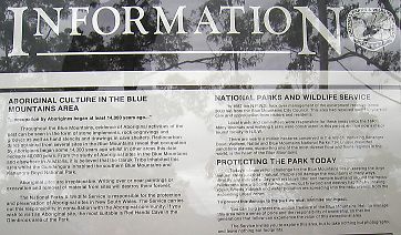
Welcome to Gedumbah from the Elders of the Gundungurra people
The Gundungurra landscape is respected by Anangus, Gooris, Kooris, Nungas
and Murris.
This ancient country is an identification of their physical and spiritual
relationship with the land. This landscape reflects the spirit of the Gundungurra.
The land is the Mother of its people's spirit. The land sustains the heritage
of living culture. Everyting has its own belonging in the ancestral landscape.
People and country are nurtured by spiritual dreaming stories
Gedumbah is the name of the valley seen from Echo Point. The name of this
place has been interpreted by settlers as Kedumba, Godoomba and Katoomba.
The basin bounded by Echo Point and Sublime Point east of the Sister is
Gundungurra women's country. Further east from Kings Tableland to Nepean
River is called Muggadah. The well known Three Sisters are part of the
Seven Sisters - Muggadah Dreaming. The story spans thousand of years and
links other important dreaming sites and people across Australia.
Muggadah Dreaming is told in the constellations of Pleiades and Orion.
Muggadah affects people's consciousness, for its arrival indicates a time
of great planetary change. Ancient stone engravings at the cliff edges
map the passage of stars in the night sky.
These dreaming stories belong to the traditional custodians and are told
on different levels. Traditional law and custom prohibit the telling of
the full story of the Seven Sisters to uninitiated people.
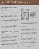
 Billy Lynch [1830's - 1913] was a Gundungurra leader who experienced the
early impact of European settlement and survived to raise a large family
and become a much-loved member of the Megalong Valley and Katoomba communities.
 _Land Forms_
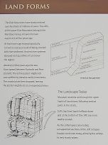
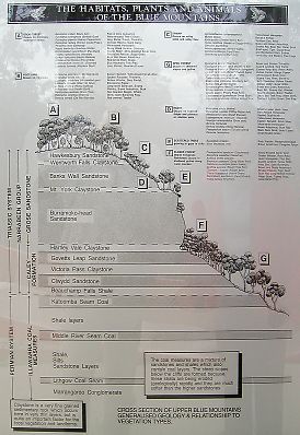
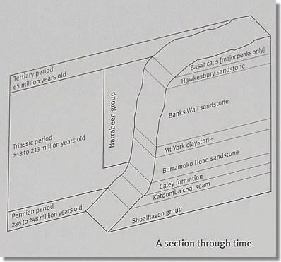
The Blue Mountains have slowly evolved over hundreds of millions of years.
The cliffs of the upper Blue Mountains belong to the Narrabeen Group of
layers formed 248 to 213 million years ago.
At that time huge swamps gradually turned to coal as a result of being
covered with river sediment. Ancient river systems dumped vast quantities
of sand over the region.
 About 95 million years ago the sea floor spread between Australia and New
Zealand. The entire Eastern Highland was uplifted by massive earth movements.
The coastal plain then dropped, leaving the Eastern Highland as an exposed
plateau.
The Landscape Today
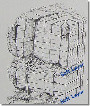
Mountain streams cut through the upper layers of sandstone, following vertical
joints in the strata.
Soft claystone layers halfway down and at the bottom of the cliffs are
more readily eroded.
As the softer layers are eroded, unsupported sections of the cliff collapse.
Erosion continues today, allowing the valleys to very slowly widen.
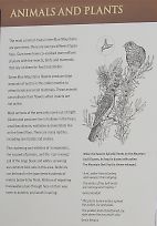
_Animals and Plants_
The most common trees in the Blue Mountains are gum trees: there are over
90 different types here. Gum trees have co-evolved over millions of years
with the insects, birds and mammals that rely on them for food and shelter.
Some Blue Mountains flowers produce large amounts of nectar in the colder
months to attract birds and small mammals. These animals can pollinate
their flowers when insects are not active.
Most animals of the area only come out at night. Gliders and possums live
in hollows in the trees; small bandicoots, wallabies and wombats live on
the forest floor. There are many reptiles, including rare lizards and snakes.
The chattering and whistles of honeyeaters, the squawk of parrots, and
the 'curr-a-wong' call of the large black and white currawang are common
bird calls in this area. Bellbirds can be heard in the gum trees hundreds
of meters below Echo Point. Millions of migrating honeyeaters pass through
here on their way north in autumn, and south in spring.